From $200
Real Estate Aerials
MLS-ready photos, cinematic video, and interactive 3D packages with public starting prices.
- Aerial photo packages
- Edited listing video
- Interactive 3D delivery
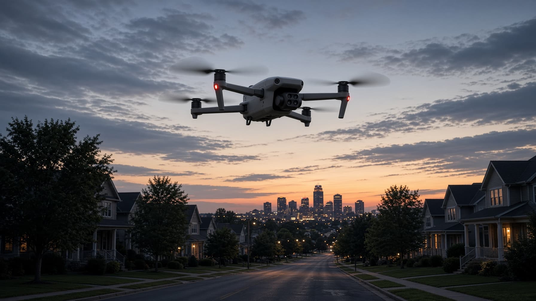
FAA Part 107 capture for listings, commercial sites, mapping, video, and thermal recovery. Each service has its own deliverables, pricing posture, and next step.
Aerial capture and documentation files. Not a Professional Engineer (PE) stamp, not a land survey, and not an insurance certification.
Choose the flight
Start with the outcome you need. The detail page shows the deliverables, limitations, and booking path.
From $200
MLS-ready photos, cinematic video, and interactive 3D packages with public starting prices.
Quote by site
RTK-tagged roof ortho, surface model, and pin list prepared as a source file for the professional who uses it.
Quote by acreage
Repeatable grid capture processed into orthomosaics, surface models, point clouds, and site files.
Single or recurring
Consistent flights across milestones so owners and project teams can compare the same site over time.
Quote by brief
Cinematic aerial footage for properties, developments, campaigns, and events, edited to the required format.
$250 search
Thermal search after the taking across the Northeast Ohio service area, with a direct field intake flow.
Share the address, intended use, timeline, and the professional or platform receiving the files.
Airspace, weather, site access, and capture requirements are checked before launch.
Receive organized media or processed files through a download link or client portal.
Send the location, intended use, and delivery deadline.