Owner visibility
Give off-site owners a consistent view of the whole project instead of disconnected phone photos.
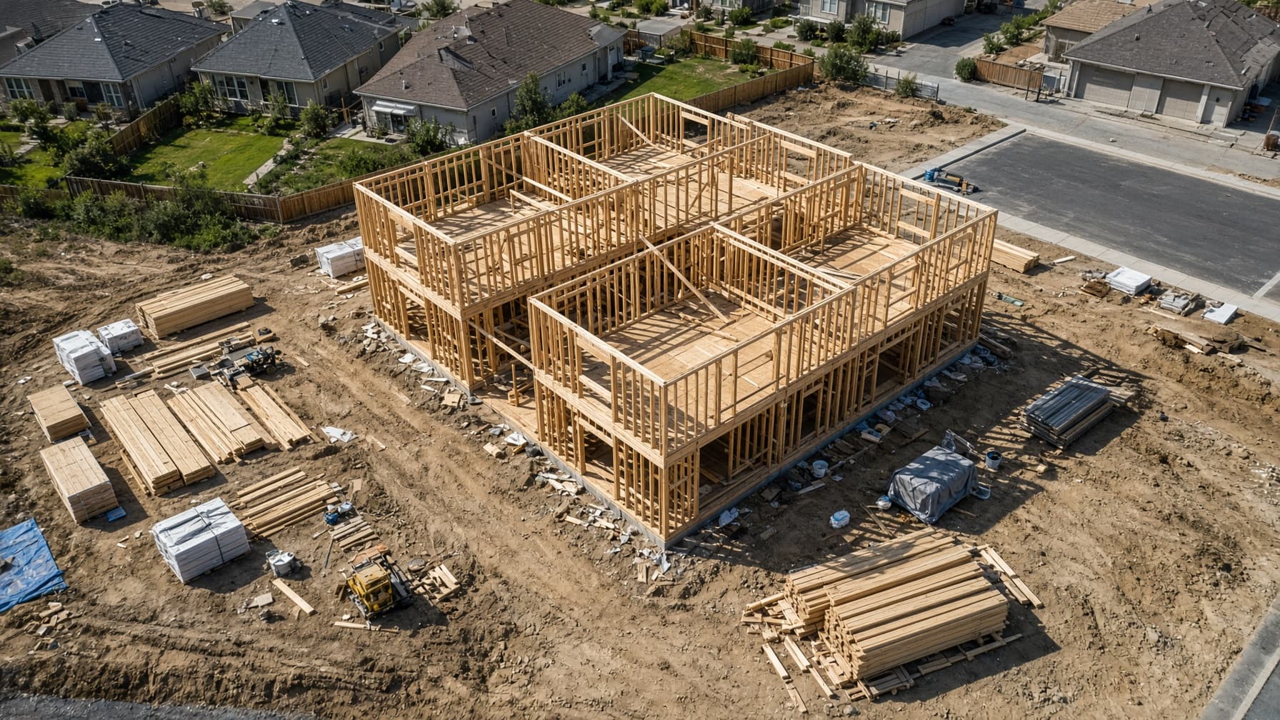
Repeatable aerial capture across project milestones. Each visit shows the site from consistent positions so owners and project teams can compare progress without reconstructing the story.
Aerial capture and documentation files. Not a Professional Engineer (PE) stamp, not a land survey, and not an insurance certification.
Set up progress flightsUses
Progress media becomes more useful when the cadence, viewpoints, and delivery stay consistent.
Give off-site owners a consistent view of the whole project instead of disconnected phone photos.
Document site conditions at excavation, structure, enclosure, exterior, and completion milestones.
Share organized aerial sets that make location and project context easier to understand.
Create approved progress media for stakeholders, development updates, and project announcements.
Delivery
The quote reflects site size, access, deliverables, and visit schedule. Recurring work is planned around project milestones, not an arbitrary content calendar.
Confirm the site boundary, useful viewpoints, milestones, and who receives the files.
Return at the agreed milestones and follow the same capture plan when conditions allow.
Deliver each dated visit in a consistent structure so changes are easy to compare.
Send the address, current phase, and the next milestone.
Request a progress quote